New Mexico. Volcanic Badlands of the Tularosa Basin
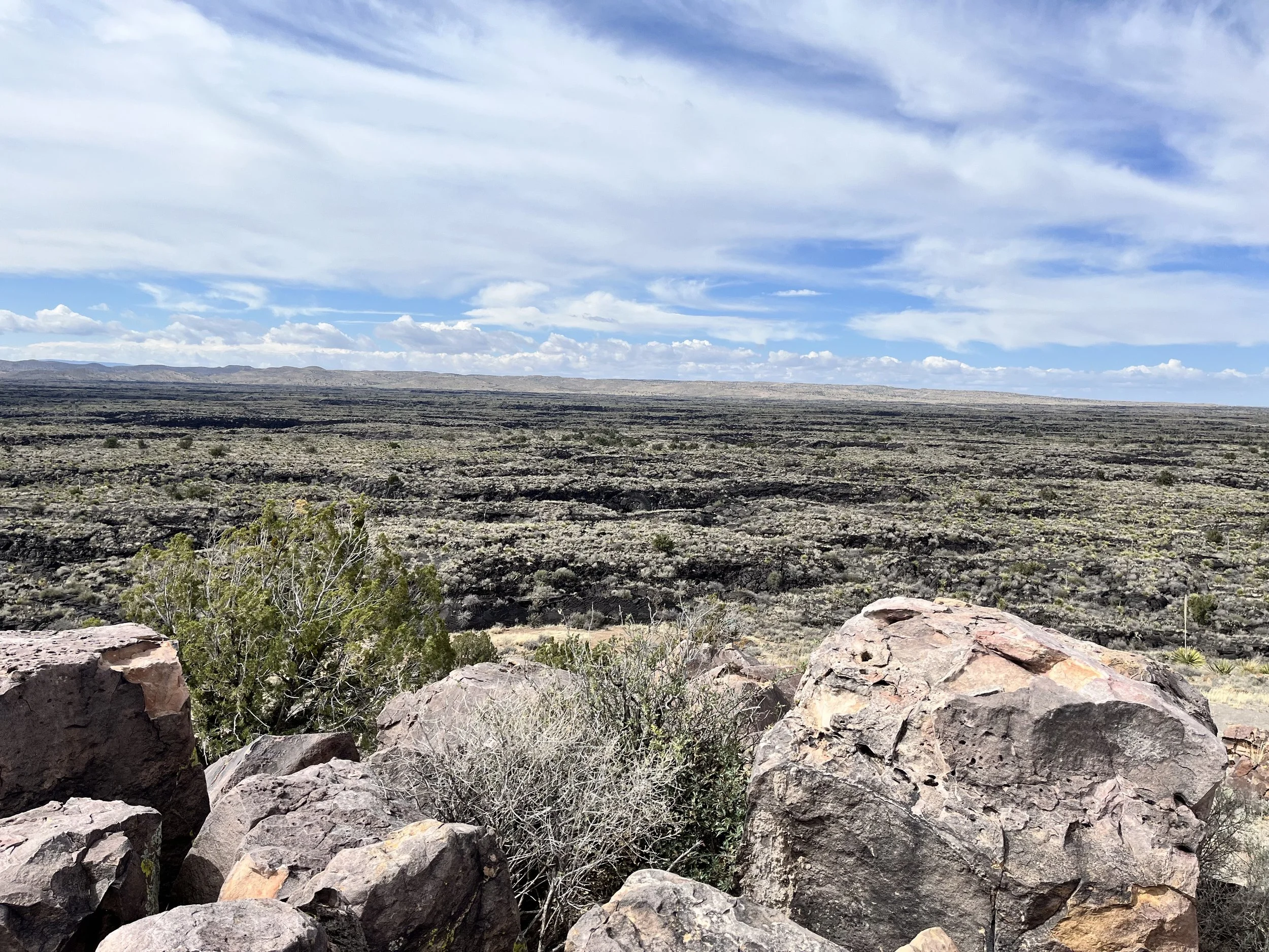
West of Carrizozo is a 320 square kilometer field of rough, jagged rock that forms a sharp contrast with the surrounding grass and cactus covered plains. Drawing closer, the chunky surface of ridges and broken blocks appeared impassable. Emerging 5,000 years ago from a fissure within the earth called Little Black Peak, an eight-kilometer-wide stream of molten lava flowed outward into the Tularosa Basin for more than a month. Today, Valley of Fires (aka Carrizozo Malpais) is known for being the second youngest volcanic eruption in the contiguous U.S. Geologists and volcanologists categorize the lava flow as monogenetic meaning that the fissure has erupted only once.
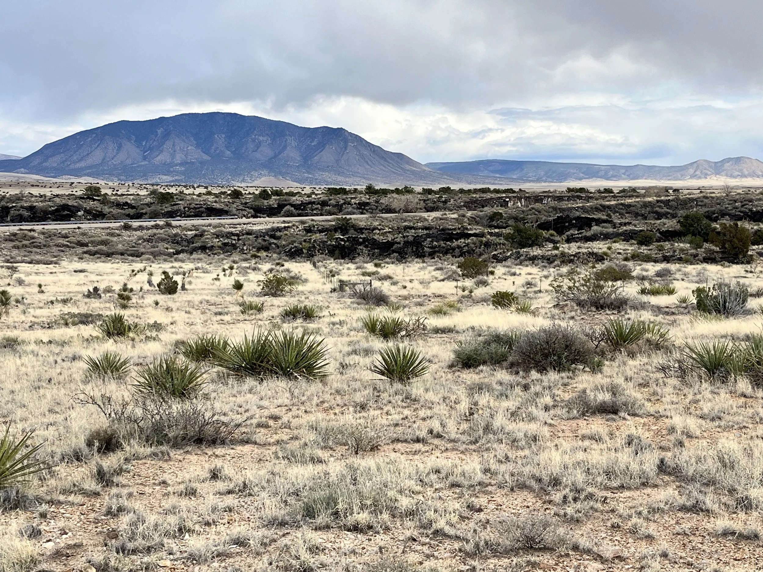
Geographically, the area is within a larger region called the Rio Grande Rift. In this place the earth’s crust was pulled apart within a north-trending continental zone that separates the Colorado Plateau to the west from the larger North American craton. Covering a region 35% larger than the State of Connecticut, the Tularosa Basin is a sunken area between two large faults. To its east are the Sacramento Mountains and Sierra Blanca Peak (3,658m) and to the west, the San Andres and Organ Mountains.
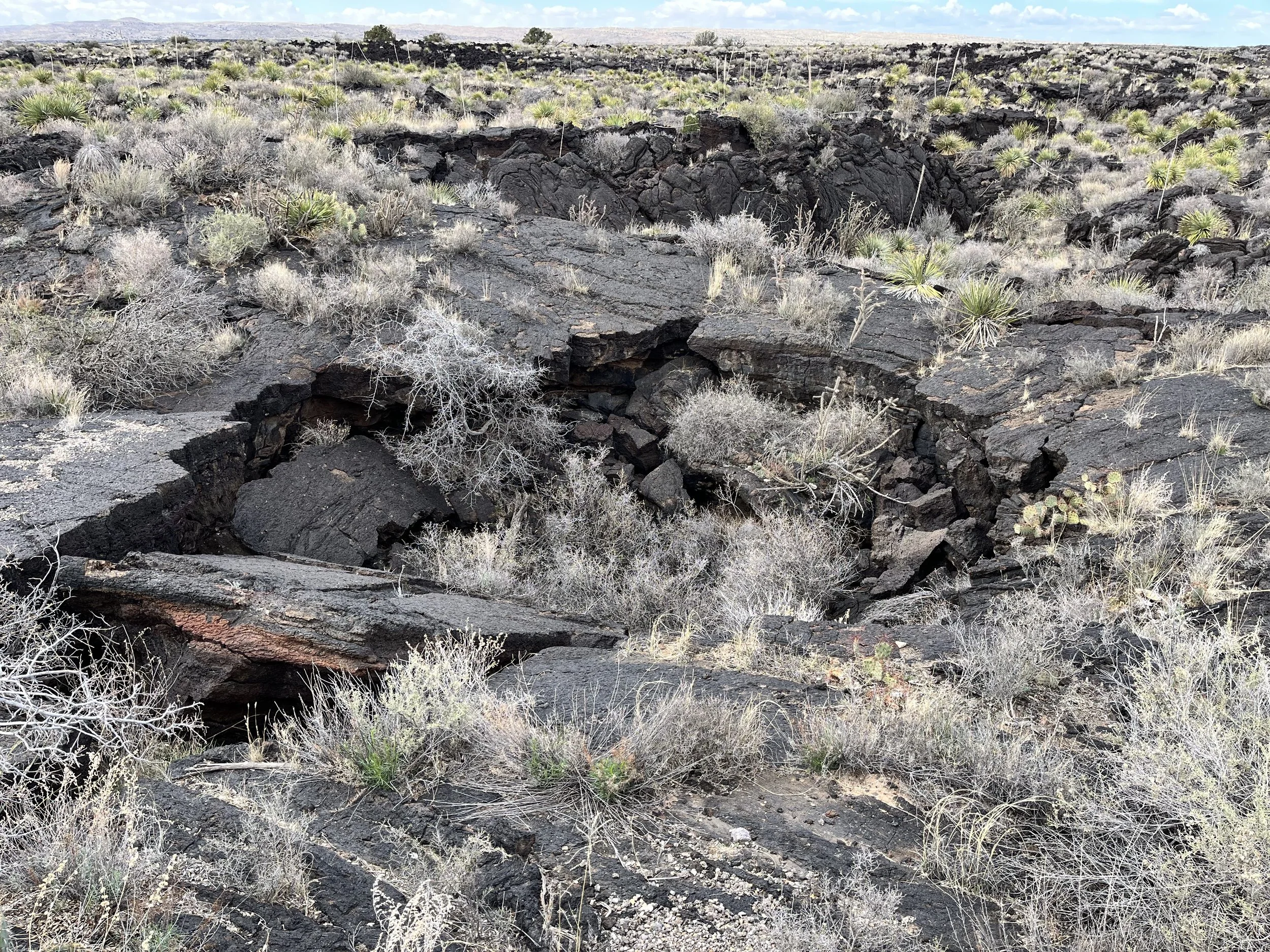
My wife and I stopped to view the lava field near a Bureau of Land Management (BLM) campground. The valley’s lava flows covered older Dakota sandstone deposited 100 million years ago within a shallow sea formed during the Cretaceous period. Eruptions were interrupted by explosive episodes of spurting ash and upward pressure that created ridges and conical mounds. There were also lava tubes that formed where molten rock continued flowing under a hard volcanic surface.
Human occupation within the area containing Valley of Fires extends to 12,000 years before present. A people known as the Mogollon left more than 20,000 images on basalt boulders within the eastern part of the Tularosa Basin. Later, the area was occupied by nomadic groups of Mescalero Apache.
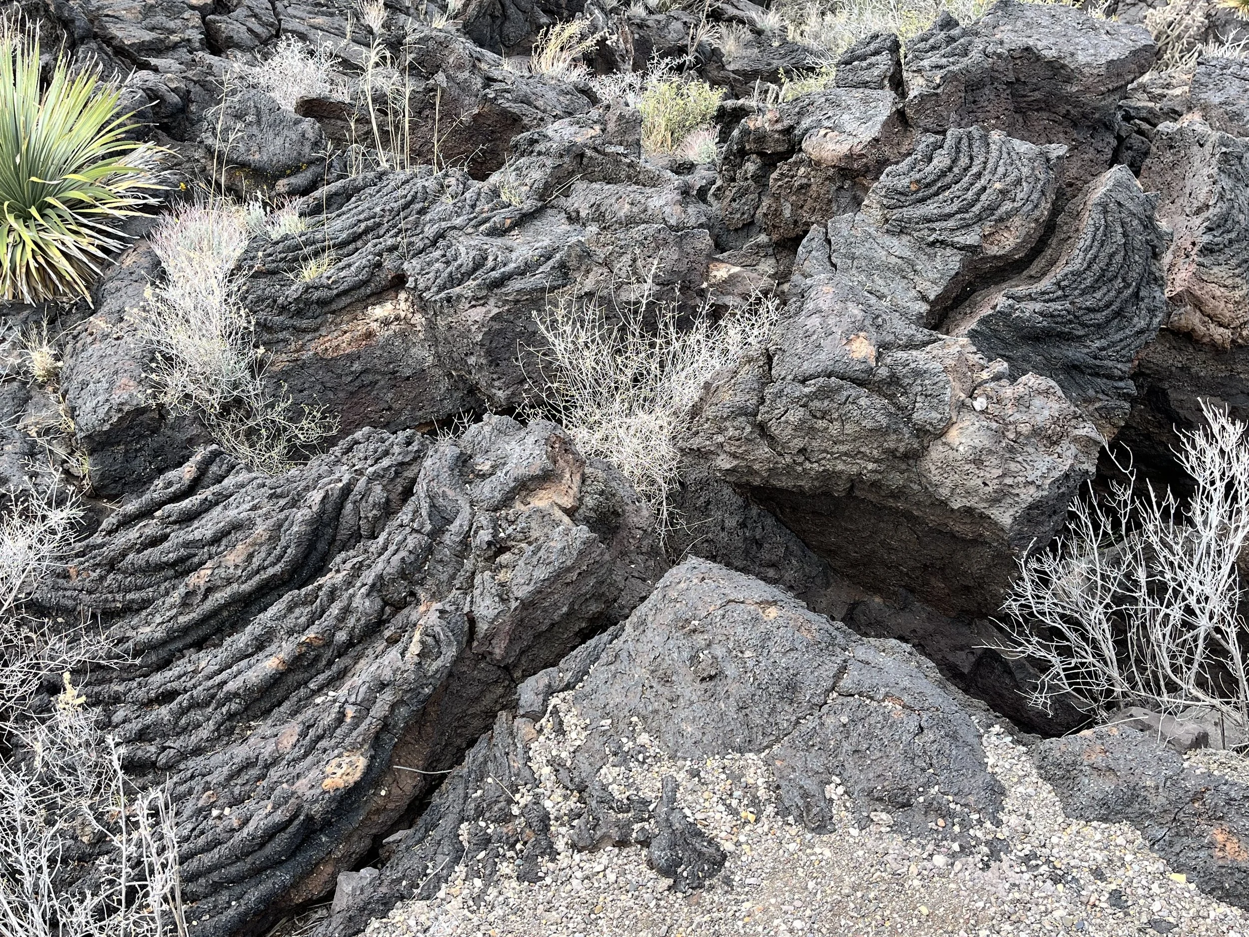
A BLM brochure notes that 4X4 vehicles are no match for the valley’s volcanic landscape and that no hiking trail extends to Little Black Peak. Bushwhacking across the lava field is permitted but not recommended because the jagged surface has edges as sharp as broken glass. My wife and I opted for the less ambitious 1.2-kilometer Malpais Nature Trail. Beginning near the group shelter we found switchbacks extending downward toward the trail loop. From the trail we could see places where gas bubbles pushed lava upward before it collapsed and cooled. We passed areas of smooth and ropy pahoehoe lava that oozed like molasses across older rock. Elsewhere was chunky a’a lava that looks like piles of dark, fractured stone pushed forward by a bulldozer.
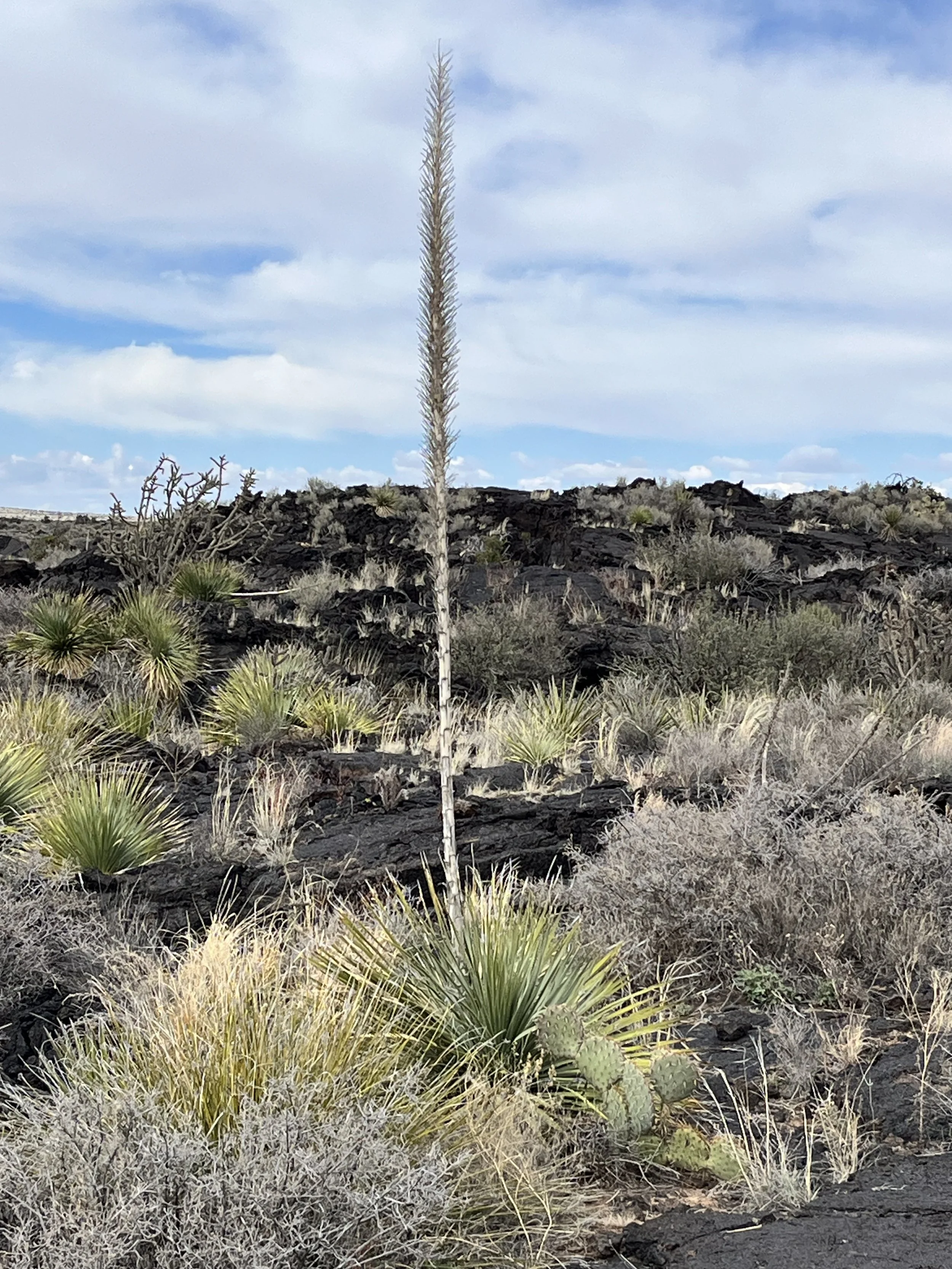
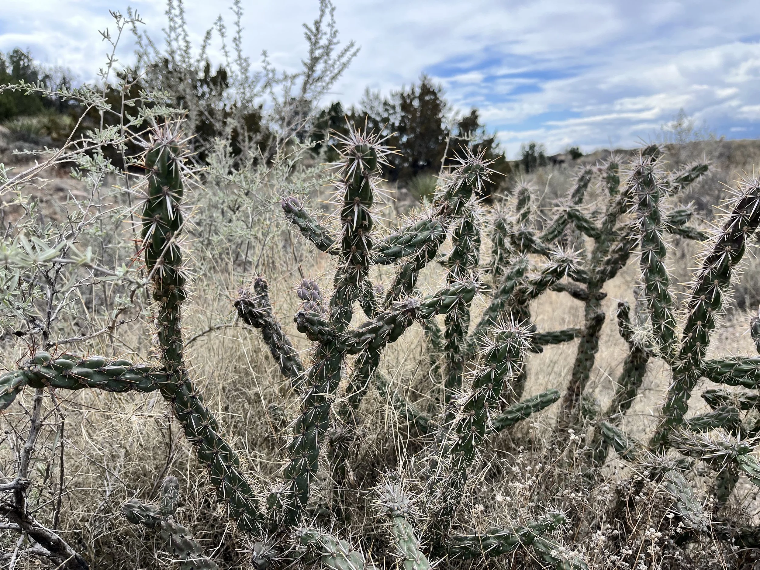
Although appearing devoid of life, the volcanic surface supports several species of plants that grow in rocky cracks and cavities. There is prickly pear cactus, banana yucca, little leaf sumac, Apache plume, and one-seed juniper. Resembling yucca, sotol have a rosette of long, linear leaf blades that extend outward from a central bulb. Rising between May and July, a mast (aka quite) extending upward from the center of the rosette can reach heights of 4.5 meters. Like the agave, the sotol’s juice has been distilled by local people to make alcoholic drinks. There are also flowers such as blue penstemon, white peppergrass, scarlet gilia, and purple verbena. The valley’s animal life ranges from quail to fox, cottontail rabbits, and Barbary sheep. Birds include burrowing owls, cactus wrens, and golden eagles.