Canada. British Columbia’s Lesser-Known National Parks
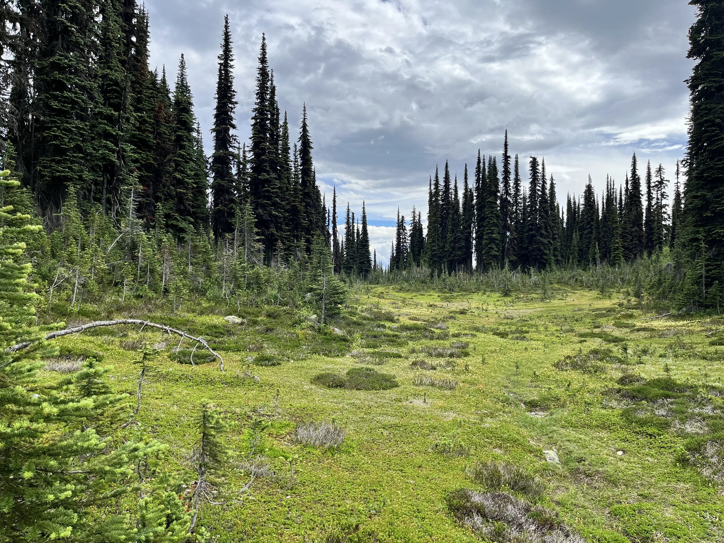
Prior to planning a recent trip to Alberta and British Columbia I had never heard of Mount Revelstoke National Park. Located in the Selkirk Mountains and covering an area of 260 square kilometers, the park is small when compared to Banff and Jasper National Parks. Already a popular skiing destination in the early 20th century, the impetus to protect the mountain came from local residents. The park was officially designated in 1914. The following year an internment camp was established inside the park for two-hundred WWI prisoners from the Austro-Hungarian Empire who were referred to as “enemy aliens.” A total of four prisoner of war camps were established in Canadian national parks during the war, one each at Mt. Revelstoke NP, Jasper NP, Banff NP, and Yoho NP. My wife and I stayed at a hotel located at Mount Revelstoke’s ski resort. On our second day we drove the 26-kilometer Meadows-in-the-Sky mountain road to the Skunk Cabbage Boardwalk. Beginning in a river valley, the route terminates at the summit of Mount Revelstoke (1,943m), the park’s highest location. Our walk took us through old growth forest of Western Hemlock and Red Cedar. In addition to inland rainforest, the park has higher elevation areas with subalpine and alpine conditions. Along with banana slugs there are grizzly bears, moose, timber wolves, and mountain goats. Cambrian and Pre-Cambrian rock formations found within the park are mostly sedimentary conglomerates deposited by ancient seas with the oldest geological formations more than 550 million years old.
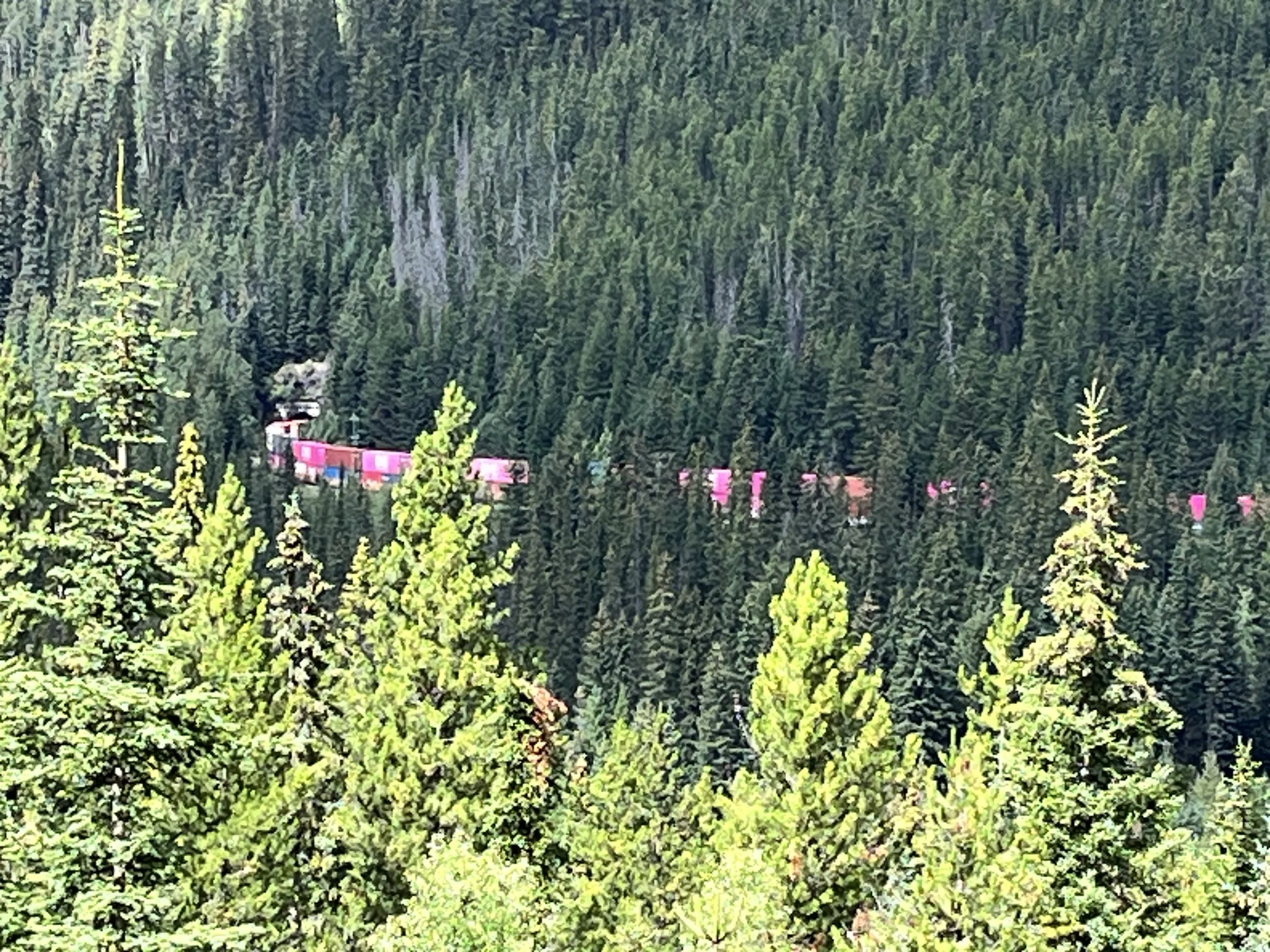
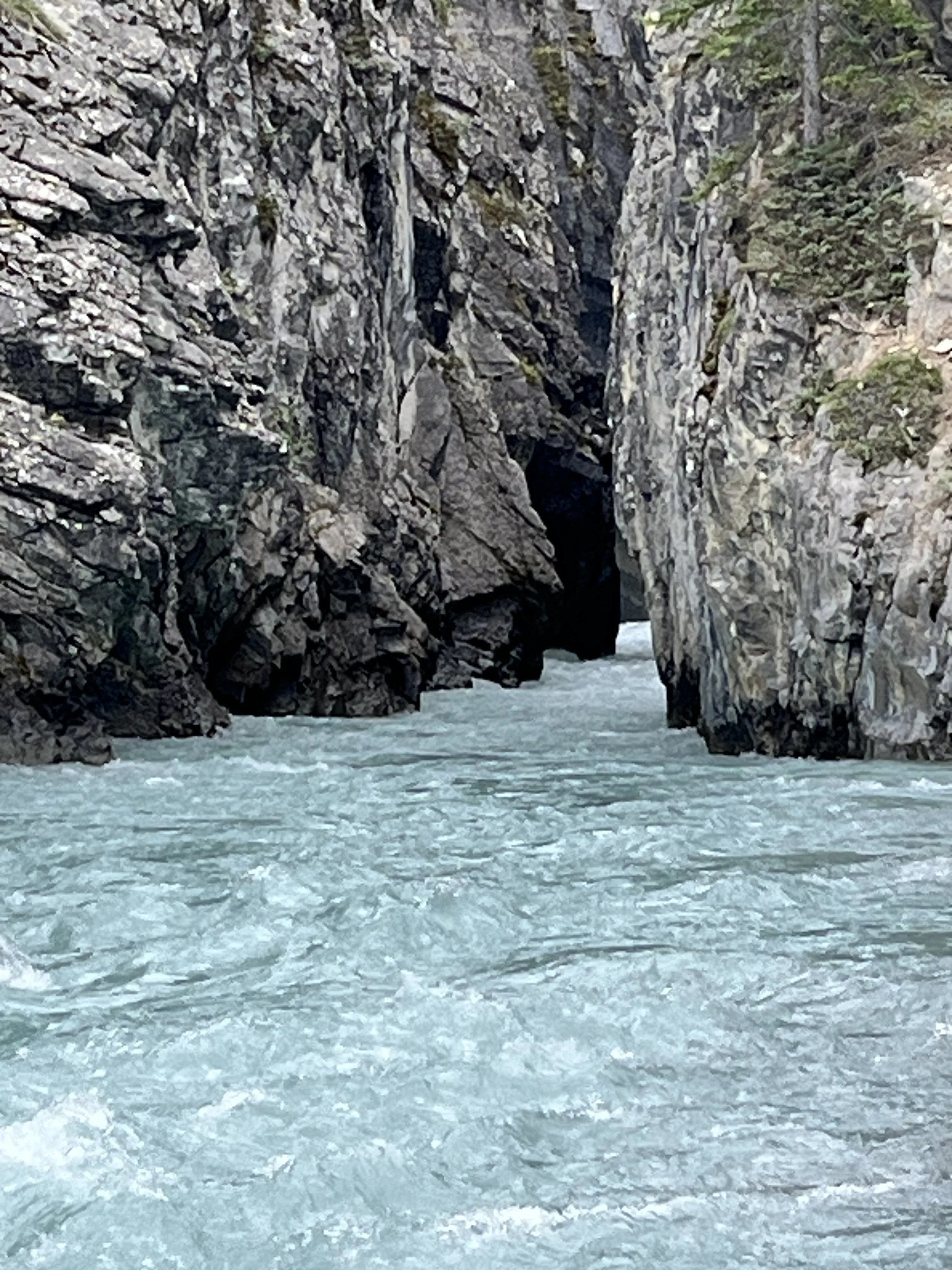
The next day we drove up Kicking Horse Pass (aka the “Big Hill”) with a brief stop at Spiral Tunnels. Considering when they were built, the tunnels are an unprecedented engineering accomplishment. Two corridors excavated inside Yoho National Park, form underground loops that enable trains to climb or descend at a 2.2% grade rather than the much steeper 4.5% grade needed to climb over Kicking Horse Pass. Before the tunnels were completed in 1909, trains climbing the steeper grade needed assistance from additional locomotive engines while descending trains were subject to dangerous run-aways. Eastbound trains cross the Kicking Horse River and enter Lower Spiral Tunnel inside Mount Ogden as they make a left turn. Traveling 891 meters, the trains emerge 15 meters higher than their entry point. The trains then cross the river a second time inside a 991-meter tunnel under Cathedral Mountain as they make a right turn while gaining 17 meters before reaching the top of Kicking Horse Pass. About 25 to 30 trains pass through Spiral Tunnels each day. With a cost of CAN$1.5 million (CAN$57 million today), the project is remembered as being the most difficult section of track constructed on the Canadian Pacific Railway.
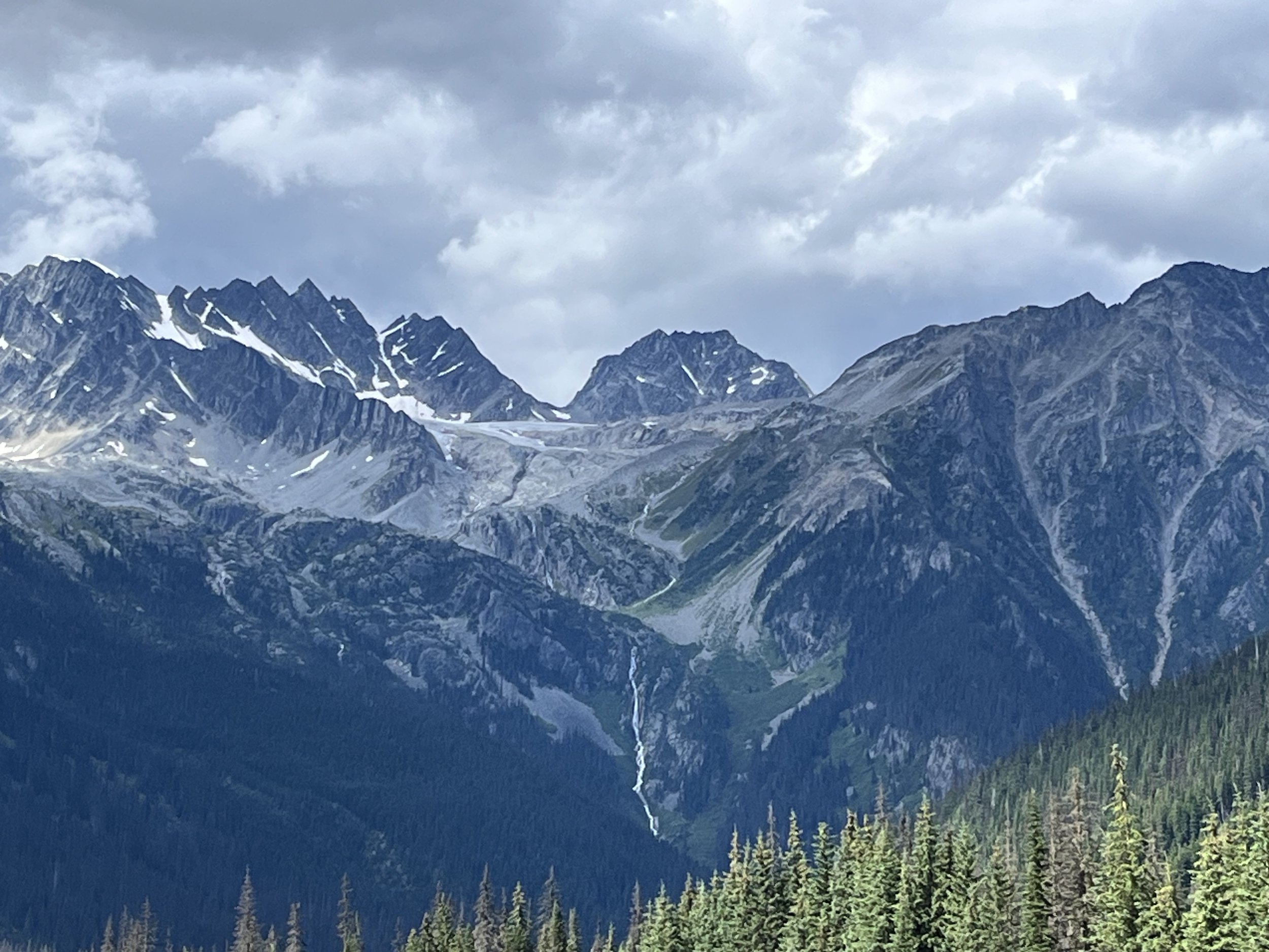
Covering an area of 1,313 square kilometers, Yoho National Park is located in southeastern British Columbia and on the western slope of the Continental Divide. The park’s name is derived from the Cree word for surprise. However, in lieu of being occupied by Cree, the area served as a hunting ground for Ktunaxa and Secwepemc peoples. Established in 1886, Yoho has sixty-one lakes, many glacially fed waterfalls, and over 400 kilometers of hiking trails. Much of the park is within the upper watershed of the Kicking Horse and Yoho Rivers that are fed by meltwater from the Wapta Icefield. Discovered by American paleontologist Charles Doolittle Walcott, the park’s Burgess Shale formation contains the fossilized remains of marine animals more than 515 million years old. During the 1880s, railway workers reportedly found what they called “stone bugs” that were later identified as trilobite fossils.
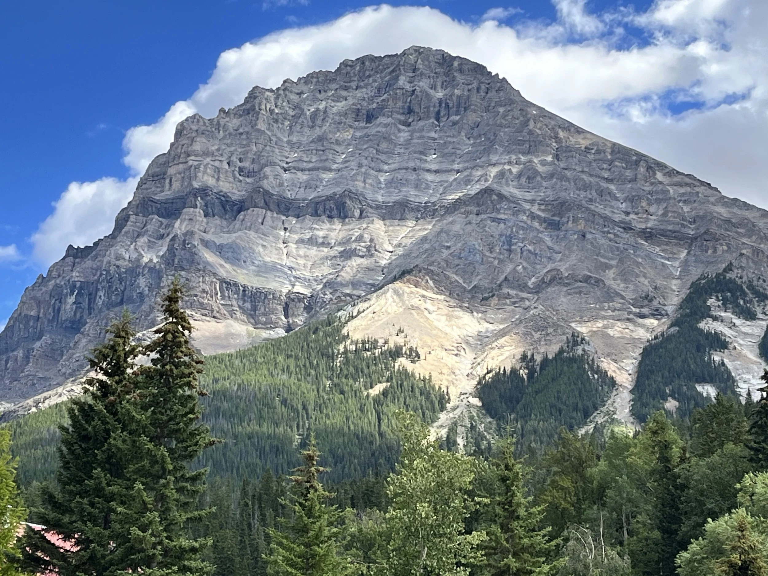
We stopped briefly to enjoy the view from a pull-off. Above we could see Mount Stephens (3,199m), named for the first president of the Canadian Pacific Railway. We continued our journey along the Trans-Canada Highway, with a lunch stop at Truffle Pigs Bistro in the town of Field. Field is an unincorporated village of 169 people located in the Kicking Horse Valley and within Yoho National Park. The building where the Bistro is now located was once a general store and liquor agency for railroad workers.
Not to be confused with a U.S. national park having the same name, Canada’s Glacier National Park was established in 1886 to protect glaciers, a large cave system, and alpine peaks such as Mount Dawson, the park’s highest point (3,377m). The park’s 1,349 square kilometers includes 131 glaciers of more than 0.05 square kilometers. We stopped at the top of Rogers Pass (1,382m) located in the Selkirk Mountains between the Hermit and Sir Donald Ranges. The pass was discovered in April 1881 after the Canadian Pacific Railroad offered Major Albert B. Rogers CAN$5,000 and naming rights to find a pass through the Selkirk Mountains. Rogers was successful and a rail line was completed in 1885. In 1916 the Connaught Train Tunnel was constructed as an alternative to Rogers Pass and in 1962 a road was built through the pass. Today, traveling through the pass by car involves negotiating three tunnels.
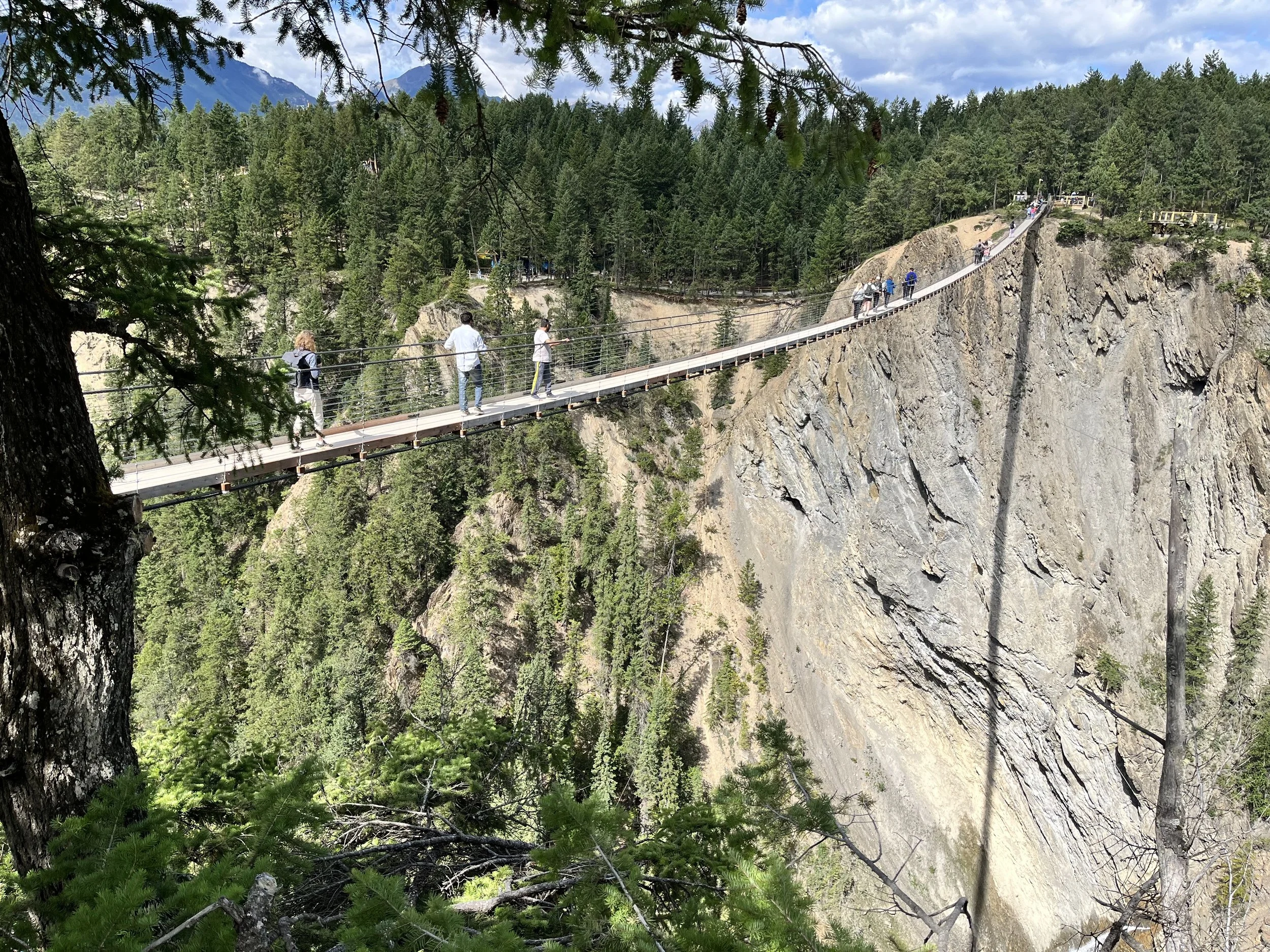
Our final sojourn was a visit to Golden Skybridge. Constructed above the Columbia Valley near the town of Golden, the Skybridge is a private recreation area with mountain rollercoasters, ziplines, a massive swing over a gorge, and a challenge course. The suspension footbridges are the highest in Canada with the main bridge extending 150 meters across and 130 meters above a canyon. A second bridge (for the return journey) is 80 meters long and 140 meters high. My wife and I paid the entrance fee and walked across both bridges. In the distance we could see Navvy Peak (4,645m), Beaverhead Mountain (2,529m), and the Dogtooth Range.