England. Wall of Defiance: Britain’s White Cliffs of Dover
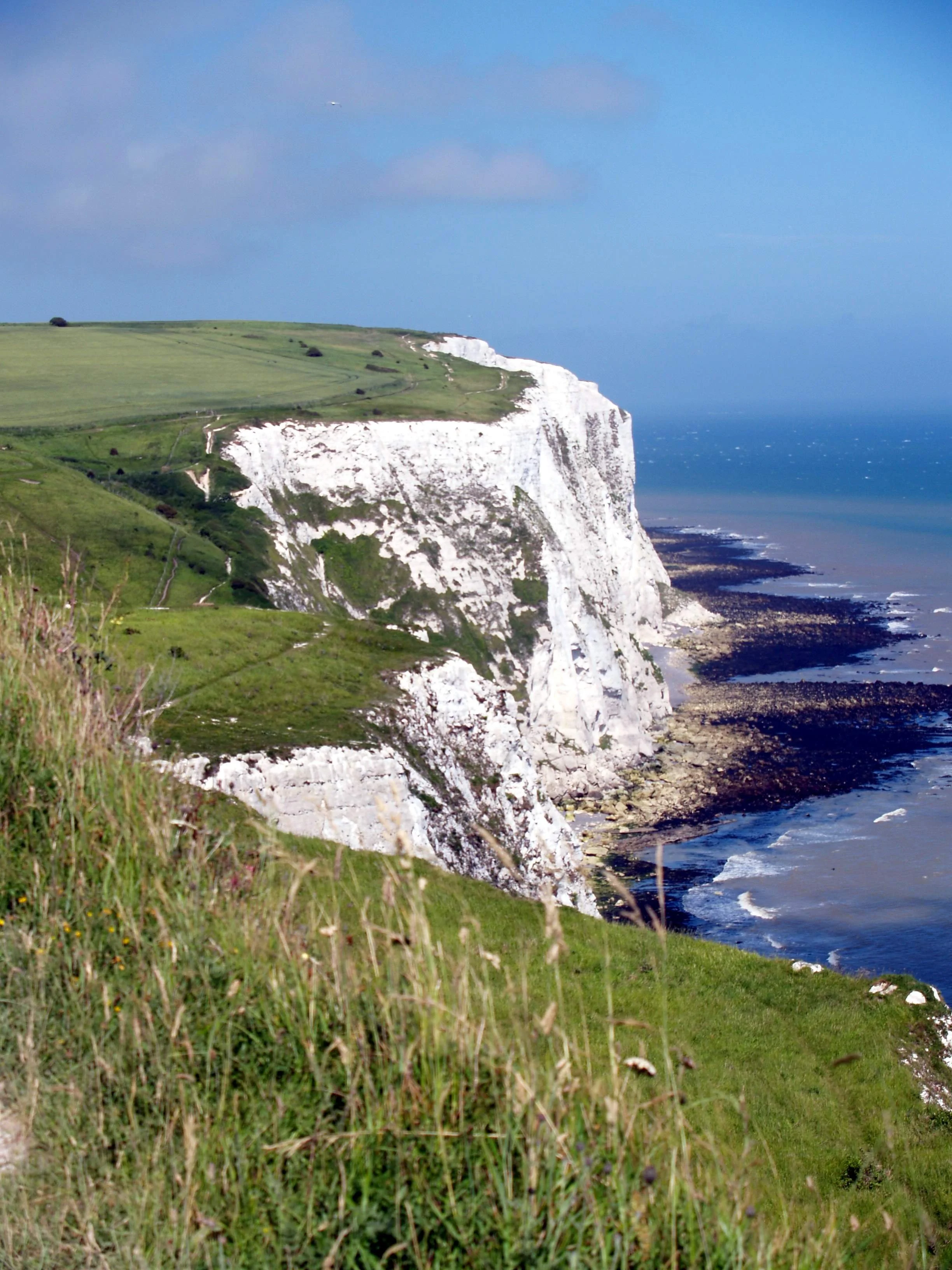
For Roman forces preparing to invade the British Isles in the 1st century and the pilots of German bombers approaching the English coastline during the 1940 Battle of Britain, the White Cliffs of Dover represented the first obstacle of a heavily defended island. Rising 110 meters above the ocean, the cliffs are a 13-kilometer-long area of steep bluffs located at the closest point between the English and French coastlines. Formed from white chalk interspersed with horizontal bands of black flint, the distinct appearance of the cliffs makes them visible on clear days from the French side of the Strait of Dover (aka the Dover Narrows).
The Cliffs of Dover were formed 100 to 60 million years ago during the late Cretaceous period and at a time when parts of Great Britain and Europe were under ocean water. Slowly, the sea bottom was covered by the skeletal remains of algae and other organisms, forming a muddy white ooze. Growing at a rate of one millimeter a year, the murky layer became more than 500 meters deep. During the Cenozoic period, the layer of chalky deposits was pushed upwards above sea level, forming the cliffs. Today, the cliffs remain bright white because of a steady rate of wind and water erosion that removes 220 to 300 millimeters of material each year.
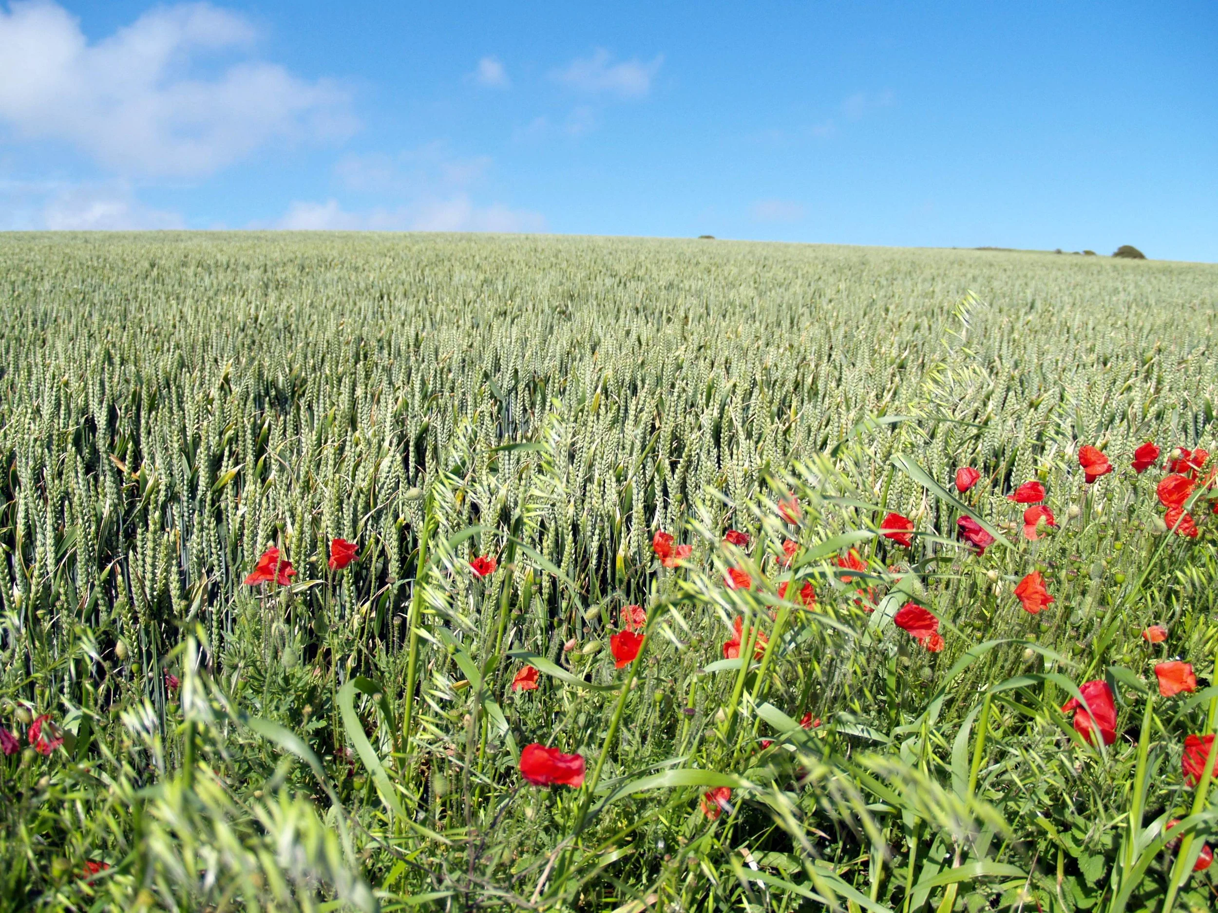
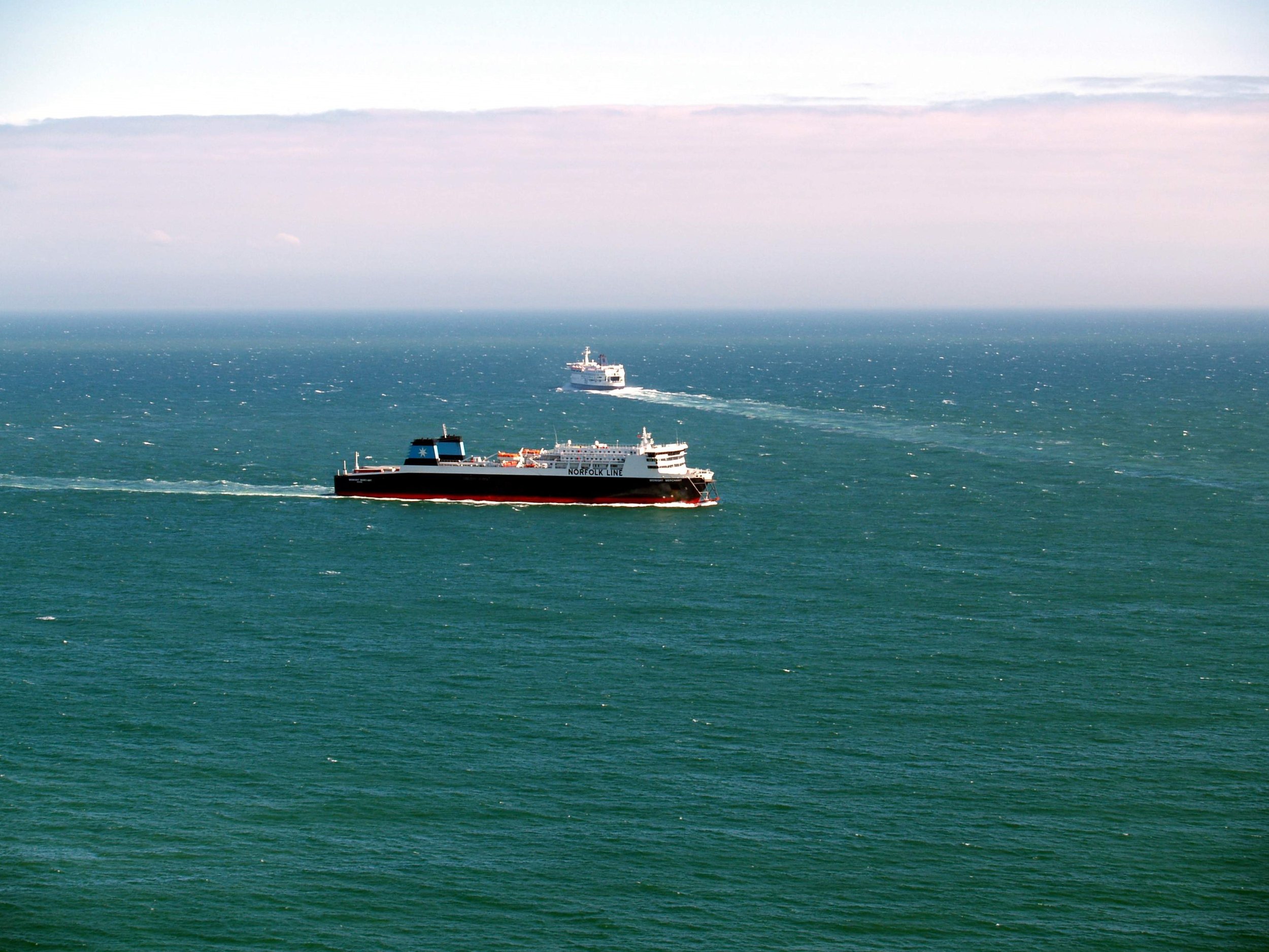
Leaving our rental in a car park, we entered a “Special Area of Conservation,” along the top of the cliffs, a chalky grassland covered with wildflowers. The White Cliffs are the first place of arrival for many migratory birds coming from mainland Europe. Along with jackdaws, there are skylarks, ravens, and an occasional peregrine falcon. We looked across the strait where Great Britain and France are just 32 kilometers apart. Although within British and French territorial waters, foreign ships are guaranteed passage through the strait by the United Nations Law of the Sea.
Observing the challenging terrain during a Roman assault in 55 BC, Julius Caesar bypassed the White Cliffs in favor of a landing spot farther north. The cliffs also served as an icon for British defiance during WWII. They were a welcome sight to Allied troops during the Dunkirk evacuation in 1940. Later that year, newspaper reporters stood at Shakespeare Cliff to watch dogfights between German fighter aircraft and British planes. Located 23 meters below the top of the cliff, the Fan Bay Deep Shelter was constructed in the mid-1930s to house long-range guns and equipment for detecting approaching enemy ships.
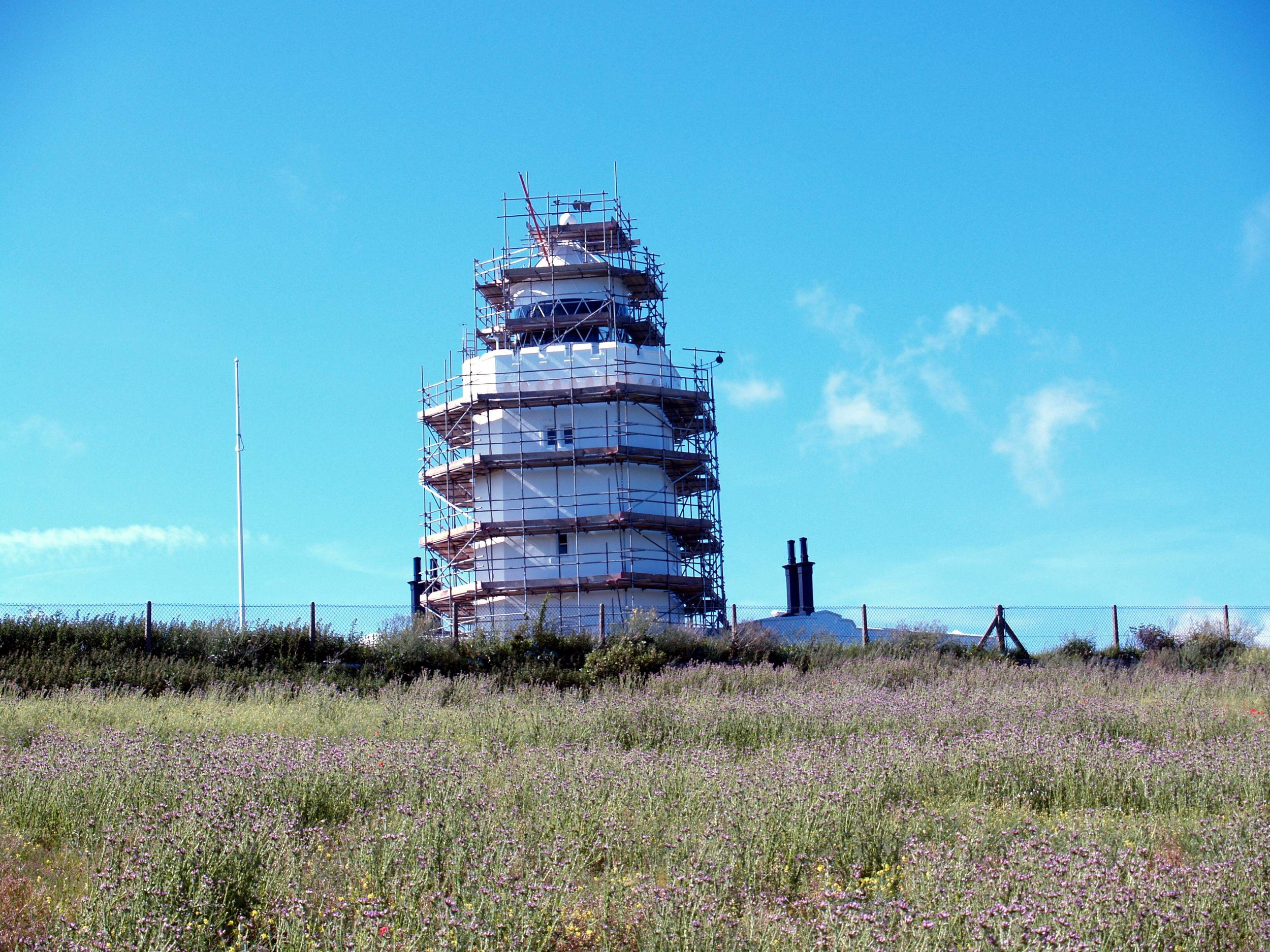
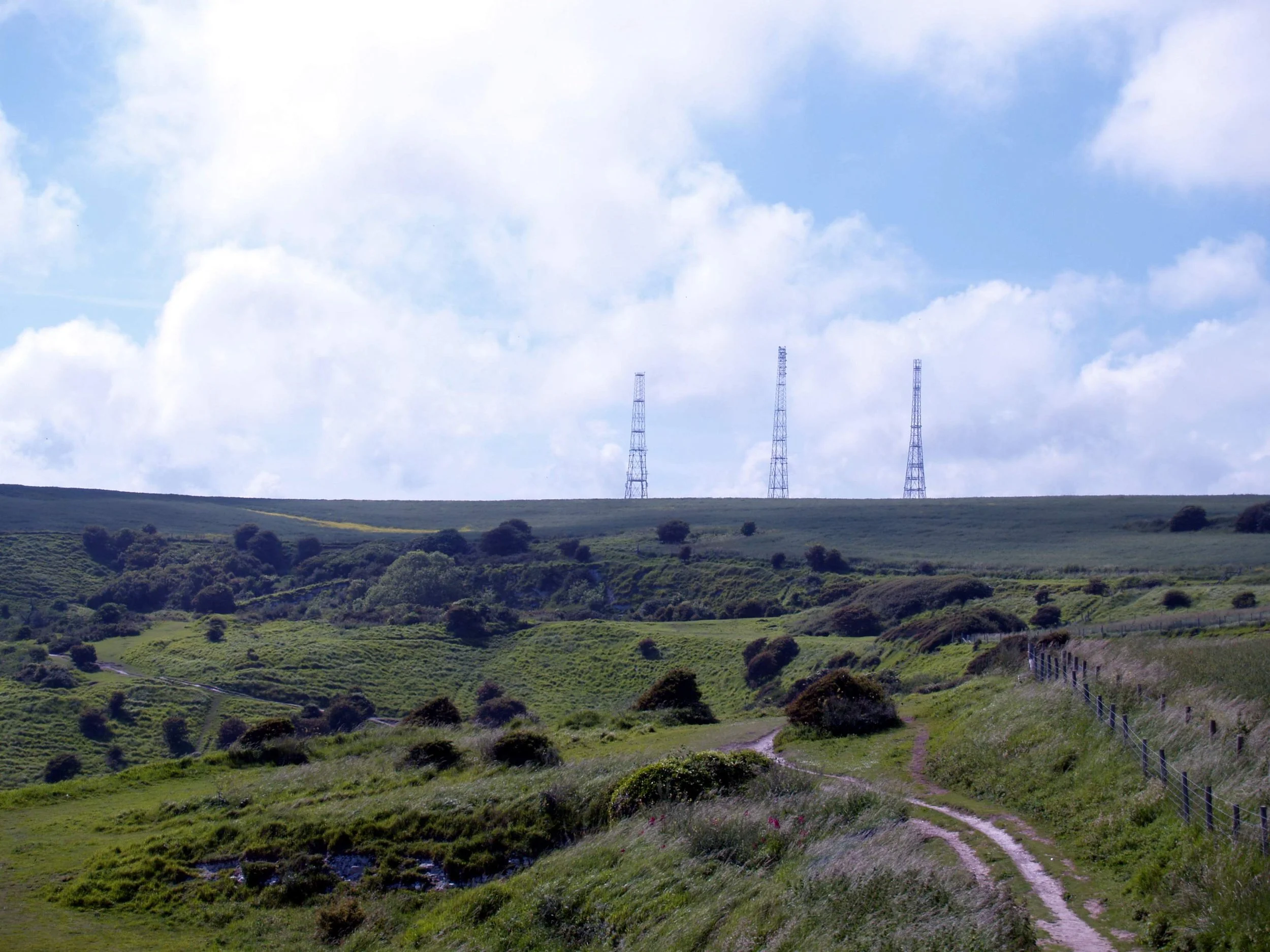
I stopped to photograph three towers that had been constructed about a kilometer from the cliff’s edge. In 1939 four steel radio masts were built under the direction of Sir Watson Watt, the British inventor of radar. The Swingate Towers were part of a network of early warning radar installations known as the Chain Home System that could detect enemy aircraft before they crossed the English Channel. During the Battle of Britain, German dive bombers unsuccessfully targeted Swingate. Although feeder cables and telephone poles were damaged, the attacks failed to destroy the towers. Of the four original towers at Swingate, two have survived (one was torn down since my visit). Today, one of the remaining towers is used by a local FM radio station.
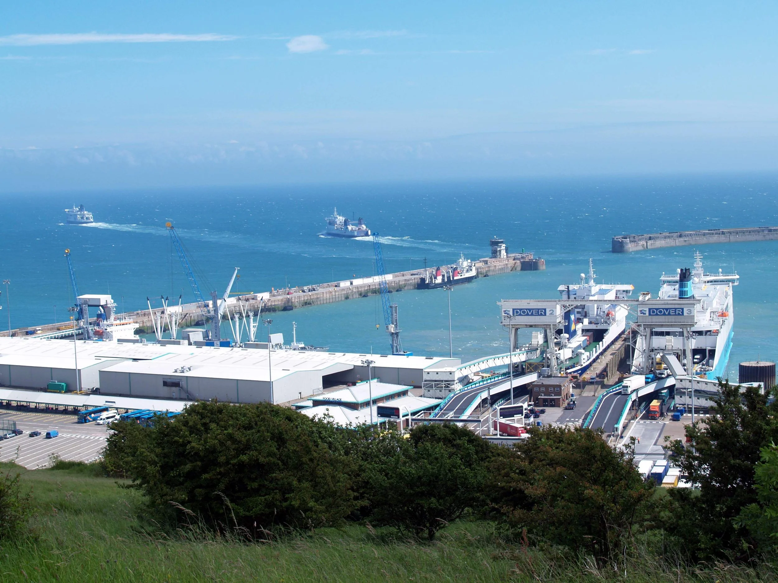
Southwest of the White Cliffs, the Port of Dover began as a Roman harbor and was later the principal launching point for English participants in the 3rd and later Crusades. English King Henry VIII departed from the port in 1520 on his way to France to participate in a meeting with French King Francis I. In 1897 the port was expanded with the addition of the Southern Breakwater and Eastern Arm. Today the port handles annual ferry traffic involving 11 million passengers, 2.5 million trucks, and more than 2 million cars. Before departing the area, we drove past the town of Folkestone, known as the rail terminus of the Channel Tunnel (aka “Chunnel”) that connects the United Kingdom with northern France. At 50.5 kilometers, it is the longest continuous underwater railway tunnel in the world.