Hawaii. Pele’s Fountain of Fire
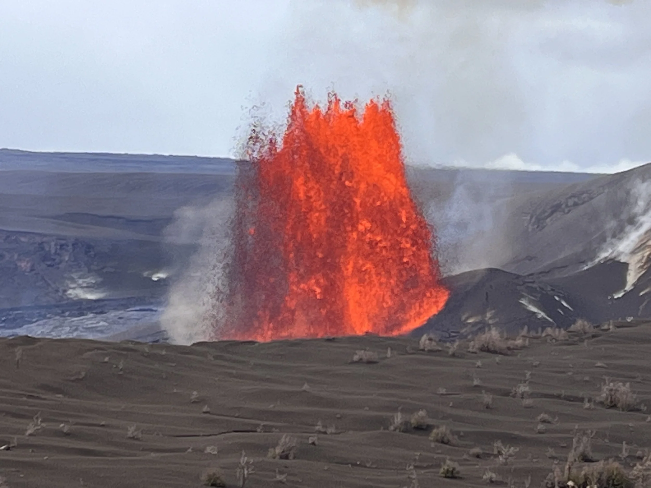
From our vantage point a glowing red dome pushed upwards towards the sky. Shrouded by smoke, superheated liquid rock shot six meters upward and then fell from view, presumably into a wide crater. I’d seen flowing lava before on a solo visit to Hawaii’s “Big Island” in 2000. That glowing river of molten rock was impressive but nothing comparable to what I witnessed along Crater Rim Trail in May 2026.
The Big Island (aka Hawaii) is part of a line of peaks extending across more than 6,000 kilometers of the central Pacific Ocean called the Hawaiian-Emperor Seamount Chain. The islands were created where the Pacific Crustal Plate passes over a stationary hot spot in the earth’s mantle. Hawaii Volcanos National Park was previously part of a larger protected area established in 1916 that was known as Hawaii National Park. In 1961, the larger park was subdivided into Haleakalā National Park on the island of Maui and Hawaii Volcanoes National Park, located on the Big Island.
Within Hawaii Volcanoes National Park’s 1,434 square kilometers are two active volcanoes, Mauna Loa and Kilauea. Making up 51% of the Big Island’s land mass and rising to 4,170 meters above sea level, Mauna Loa is the world’s largest volcano. If its underwater mass is included, Mauna Loa is the world’s tallest mountain, reaching to a height of 9,144 meters (in comparison, Mount Everest is 8,848 meters tall). Forming the south-central part of the island, Mauna Loa has erupted 33 times since 1843, an average of once every five years. In contrast, Kilauea is the youngest (about 280,000 years old) and most active Hawaiian volcano. Like Mauna Loa, Kilauea is a shield volcano formed by a succession of low viscosity eruptions. Rising to 1,200 meters above sea level, it is considerably shorter than Mauna Loa. In addition to cinder cones, lava fields, and steam vents, Hawaii Volcanos National Park protects areas of tropical rainforest and craggy coastline. About half of the park is federally designated wilderness including Mokuaweoweo, Mauna Loa’s summit. Animal life within the park includes the Hawaiian “happyface” spider and a carnivorous caterpillar. The park also has non-native species of mongoose, wild goats, and feral pigs. The hawksbill turtle is an endangered species found in the vicinity of the park’s coral reef areas. Birds include the elepaio (a type of flycatcher) and the nene (a goose that is the state bird of Hawaii).
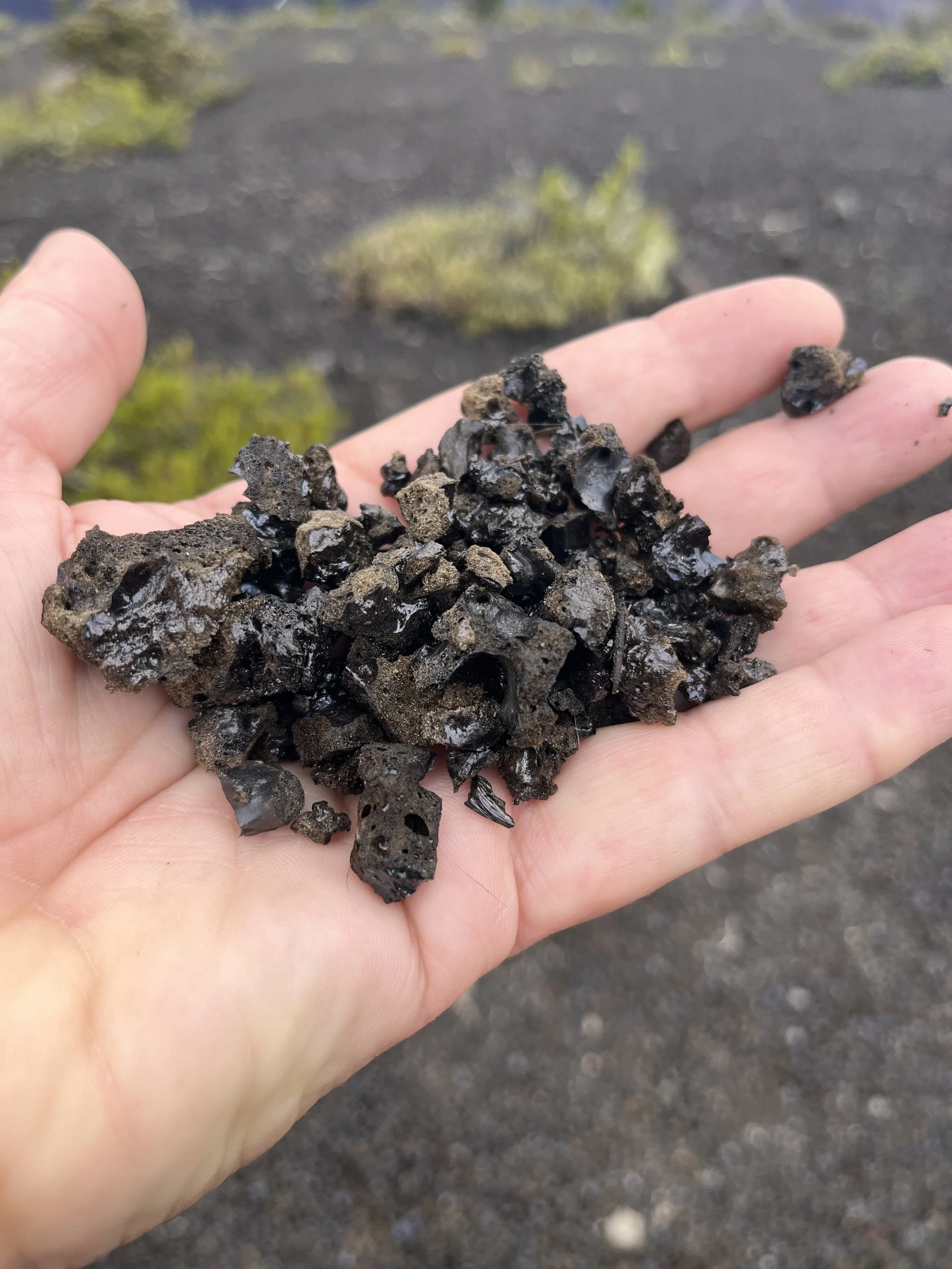
Driving from Hilo, we took Highway 11 (aka Volcano Road) to the park’s west entrance. Subsequently, we parked near Wahinekepu (Steaming Bluff) and walked a portion of Crater Rim Trail to viewpoints within sight of the eruption. The Kilauea crater is sacred to native Hawaiians as the home of Pele, goddess of fire, lightning, wind, and dance and creator of the Hawaiian Islands. Some Hawaiians believe that the jealousy of Pele can trigger eruptions. Kilauea’s current eruption cycle began in late December 2024. Since then, eruptions have taken place in a series of episodes that last less than 12 hours. From our vantagepoint we could see lava rising to form a fountain and then splattering across a portion of the crater that was out of view. Commenting on a similar eruption in 1866, Mark Twain noted, “It was like gazing at the sun at noonday, except that the glare was not quite so white.” Erupting lava is 2,250 to 1,200°C and hardens at a temperature of about 1,000°C. In places on the trail, we found chunks of tephra, a material ejected into the air during eruptions. Extremely light, tephra looks and feels like Styrofoam and is made of volcanic glass threads separated by vacant passageways. It is ninety-five percent empty space by volume and easily crushed into a fine powder.
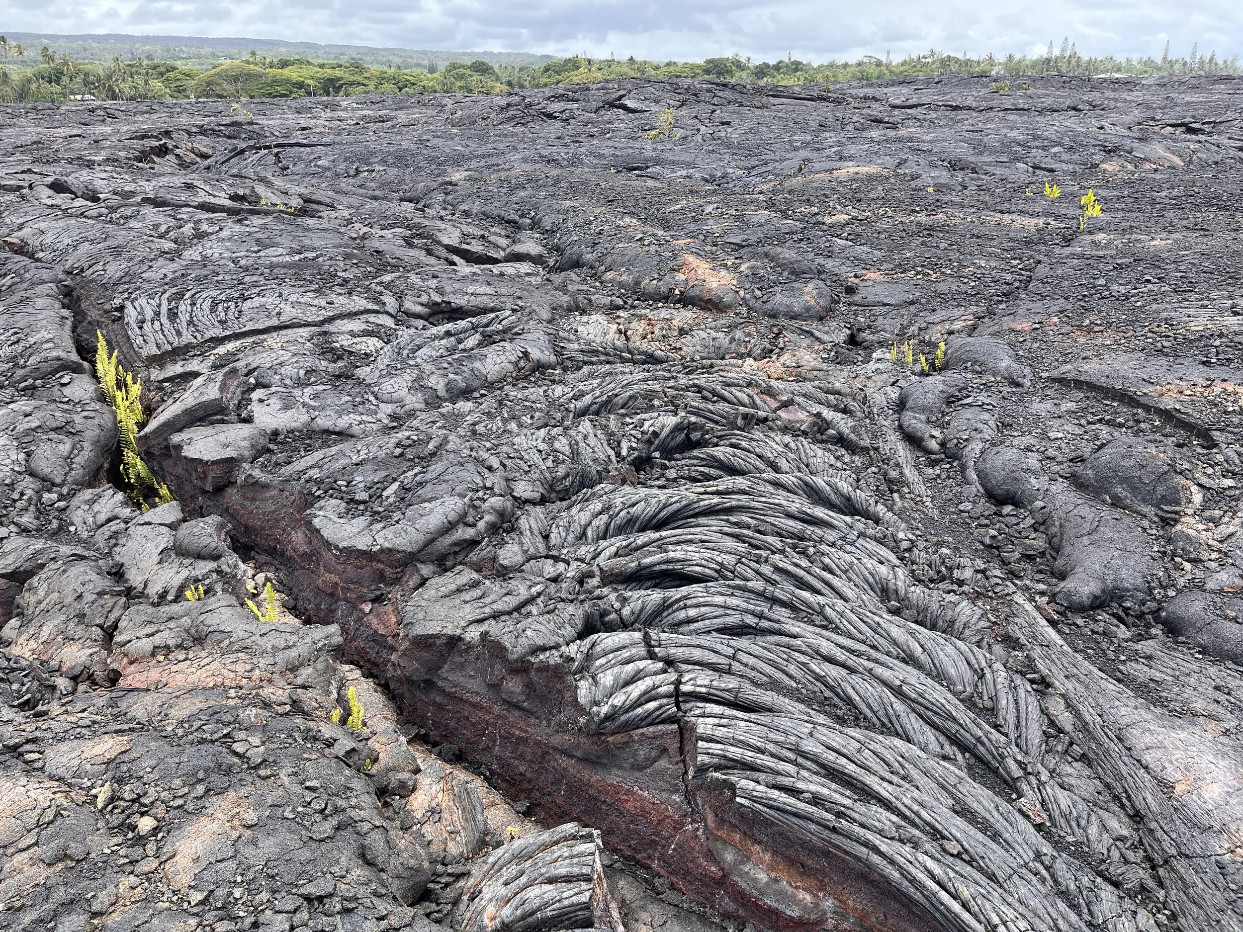
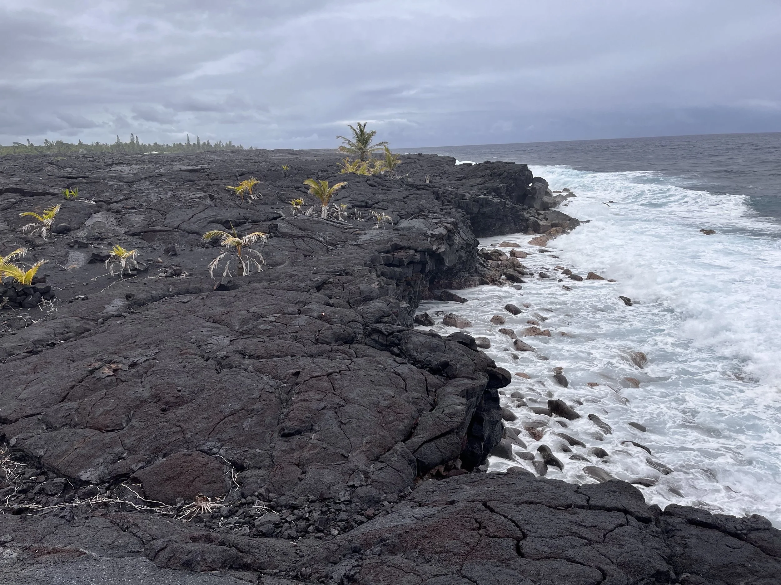
After seeing the eruption my companions and I drove south on Chain of Craters Road. Our route down the side of Mauna Loa took us through several spectacular lava fields and microclimates that range from arid desert to lush tropical forest. Older eruption areas were formed where lava emerged from rift zones and vents or weak points on the flanks of volcanos. The park has both chunky a’a’ lava and ropy pahoehoe lava. We parked near a trail with access to a viewpoint where we could see Hōlei Sea Arch that rises 30 meters along a cliff face.
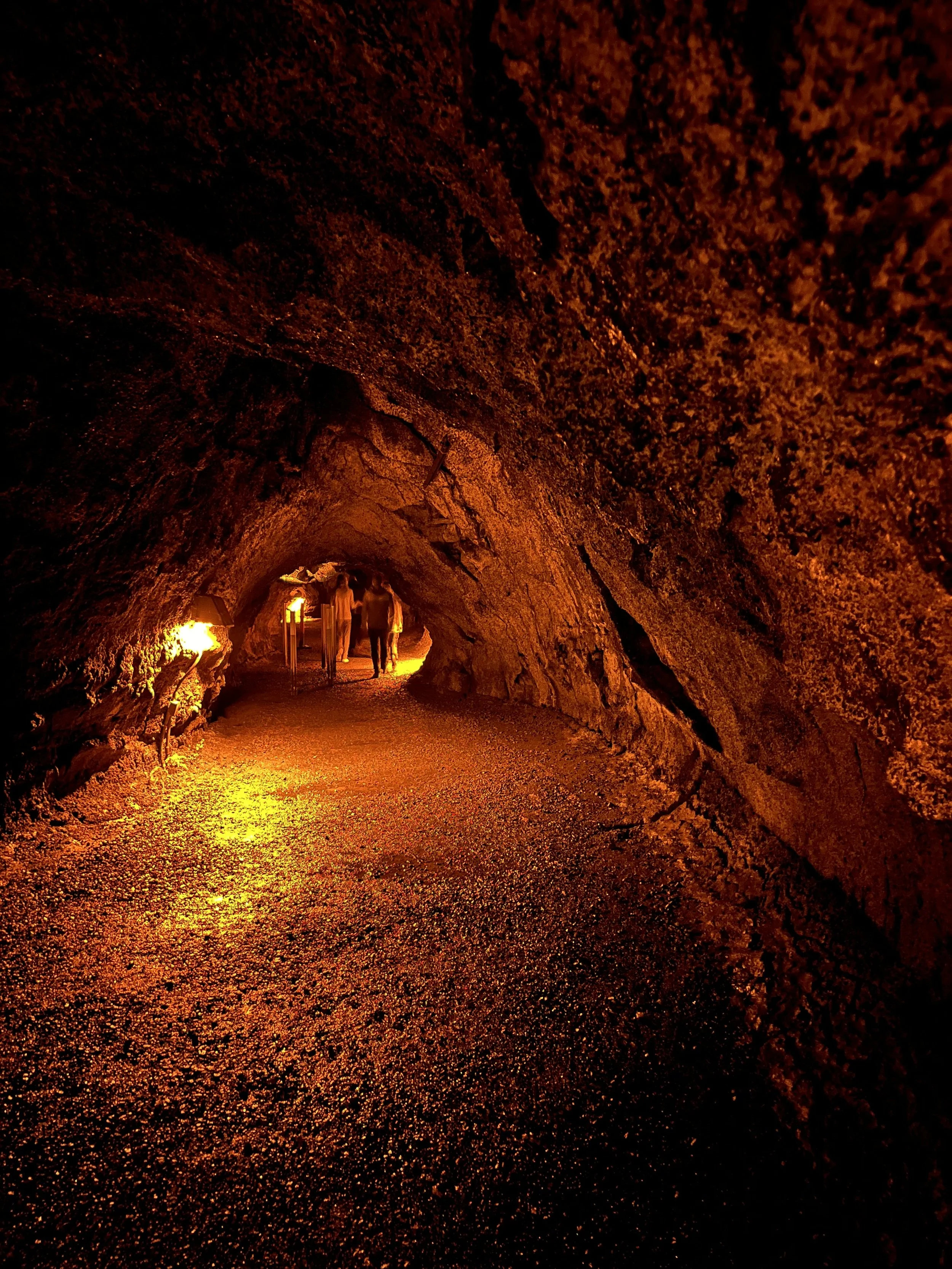
Another stop took us to the Thurston (aka Nāhuku) Lava Tube, named for missionary Asa Thurston who was the first person of European descent to see the park in 1823. A 182-meter-long section of the tube is open to the public. We parked and walked through a forested area to stairs that led downward into the lava tube’s entrance. The underground route is illuminated by electric lights.