Turkmenistan. The Karakum’s “Gate to Hell”
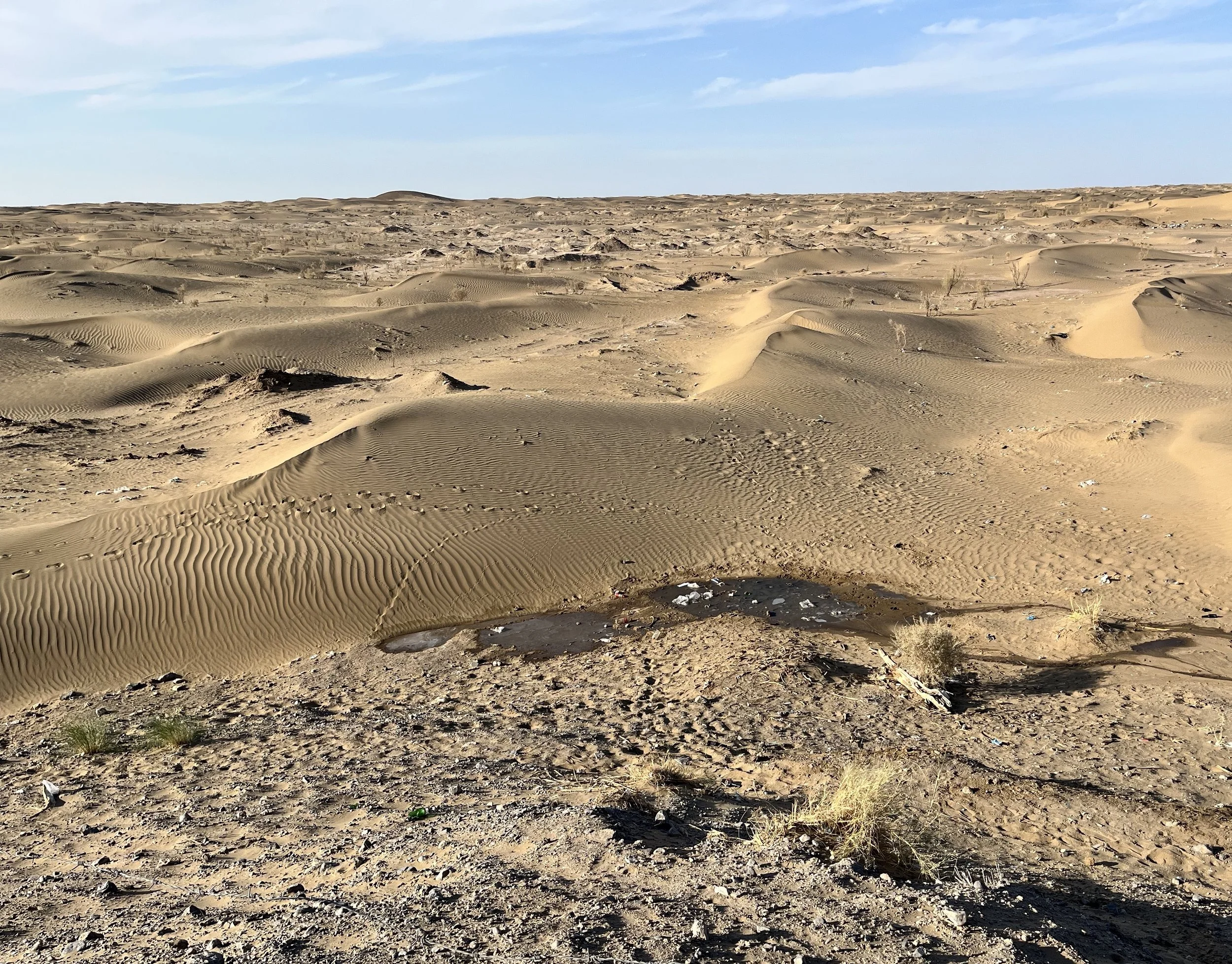
Departing Ashgabat, Turkmenistan’s capital city, we found the four-lane road to be in relatively good condition. Our destination was the Darvaza Gas Crater, aka the “Gate to Hell,” located five hours north and deep within Central Asia’s Karakum Desert. The Karakum extends east from the Caspian Sea and northward to the remnants of the once massive Aral Sea in Uzbekistan and Kazakhstan. Made up of particles of evaporates and alkaline, the sand is held in place by grass and shrubs. Elsewhere, strong winds have shaped blowing sand into barchan dunes that resemble crescent rolls. Given the heat, we were happy that our 4WD Toyoda Landcruiser’s air-conditioning was functional. With a continental climate, the Karakum Desert’s temperatures can exceed 34°C.
The Karakum Desert was once the domain of Turkmen slave traders. Today, permanent residents of the Karakum are mostly involved in pastoralism (cattle and sheep) and agriculture. Covering more than 350,000 square kilometers, the region has a population density of less than one person per 6.5 square kilometers. Surface water is rare. In a few places, melons, grapes, and other fruits are grown using well water. The Russians began exploring the Karakum in the 18th century. The economic situation changed after World War II with the discovery of oil and the development of large-scale natural gas production. Turkmenistan now produces about 80 billion cubic meters of natural gas each year, much of it exported to China, Azerbaijan, and Turkey. Along with petroleum, industrial activities include thermal and hydroelectric power generation and salt or sulphur mining.
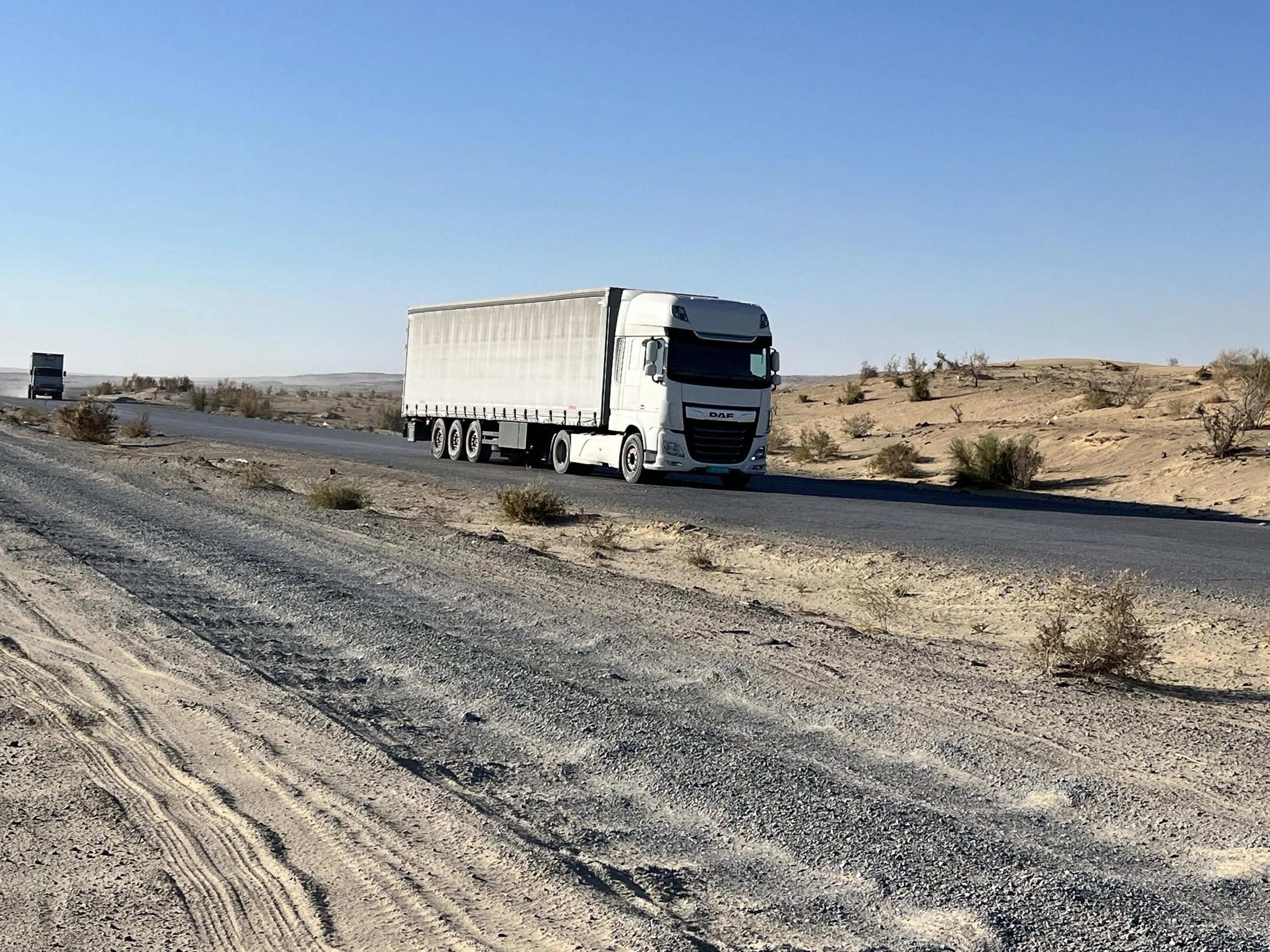
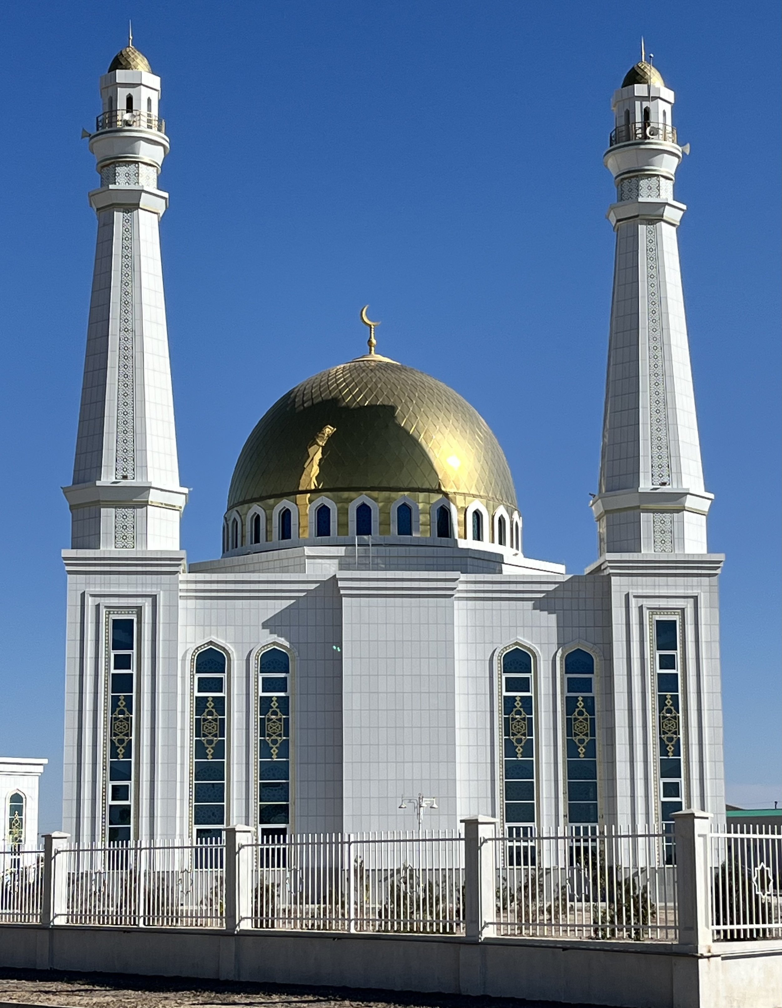
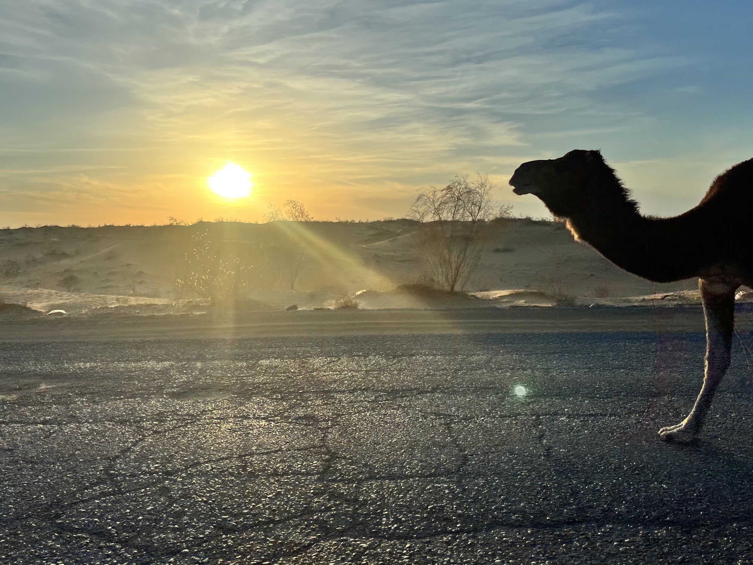
After an hour of driving, the highway narrowed to two lanes prompting our driver to explain that the road would be transitioning from “normal” to “normal bad.” We began swerving to avoid menacing potholes that grew in number and depth. At times we left the asphalt entirely for the less pitted gravel shoulder. Other road hazards included camels. Our driver explained that the leggy animals are not wild and that their owners monitor their movements using motorcycles. We stopped for fuel twice. In one small town we passed a recently constructed mosque with a gold dome flanked by two tall minarets.
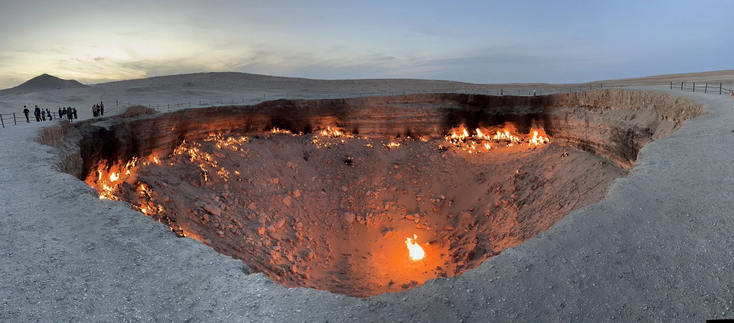
With the sun low in the sky, we left the main highway on a sand and gravel covered side road. After twenty minutes the bowl-shaped gas crater came into view. Measuring 70 meters across and 30 meters in depth, the massive hole was illuminated by hundreds of small fires. We could feel the heat as we walked towards a discontinuous handrail installed in 2018 to protect visitors. It was possible to see the bottom only by approaching the crater’s edge. I learned later that scientists have discovered living organisms in the chasm such as thermophiles that can withstand the severe heat.
Although it may be tempting to believe that the crater is a natural phenomenon, it is the byproduct of an industrial accident. One story holds that it was discovered when a local shepherd who inhaled the gas collapsed and died. In 1971 the Soviets built a platform on the site to recover the gas. Shortly after building the structure a large hole swallowed the platform. It is unclear how the methane was ignited but one story suggests that a fire was intentionally set because of the potential health impacts of unburned gas on nearby settlements. In 2010, Turkmenistan’s president commissioned an investigation of the crater’s influence on the development of natural gas within nearby reserves. Today, more than fifty years after its gas was ignited, the crater continues to burn. Although we didn’t see them, there are two other craters nearby, one filled with water and another with mud.
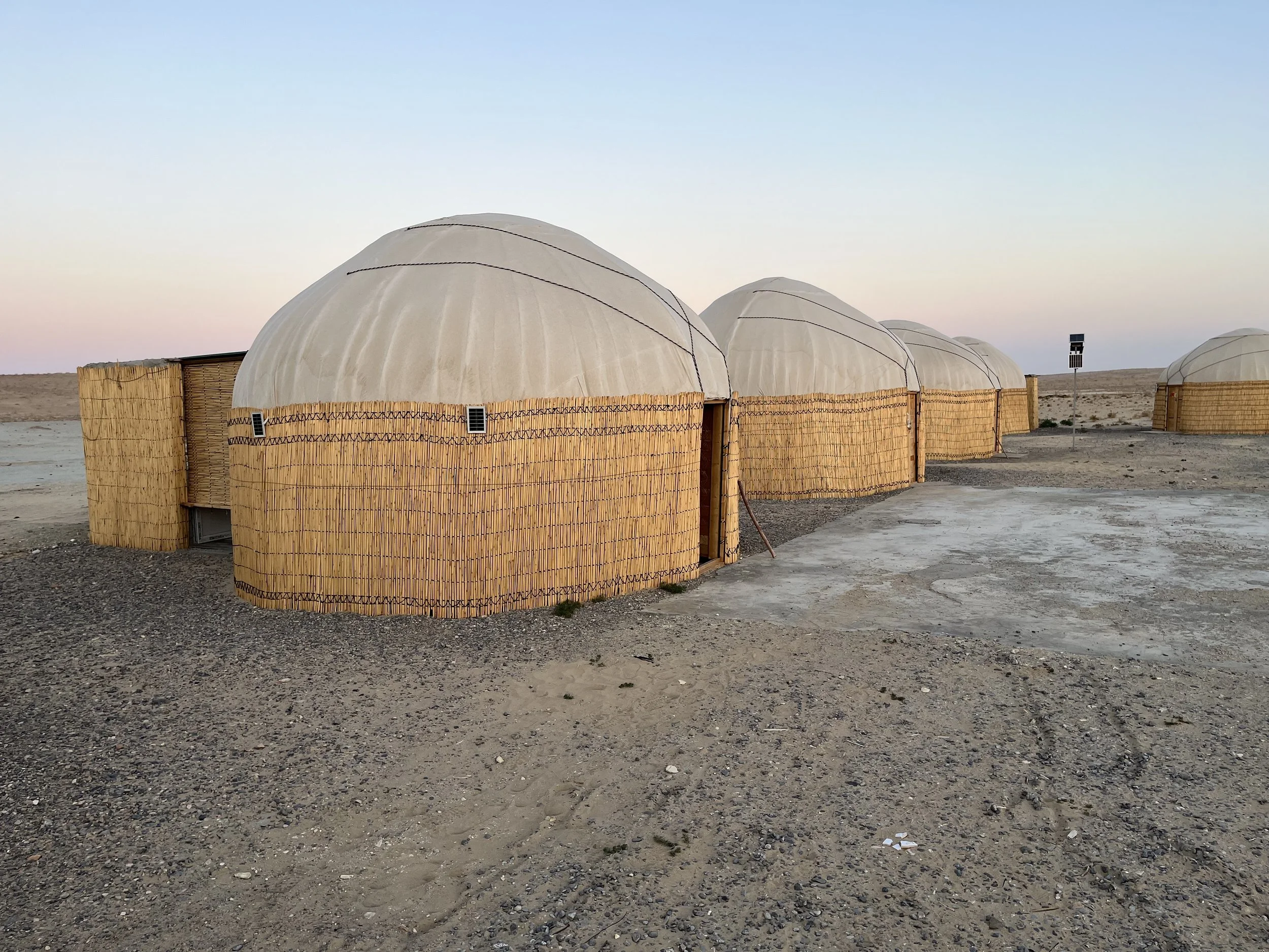
After thirty minutes observing the crater, we drove to a nearby tourist encampment featuring two dozen yurts. Used by Central Asia’s nomadic peoples for more than 3,000 years, yurts are portable, round tents created by covering a collapsible wooden lattice with skins or felt made from camel and/or sheep wool. My wife and I shared a yurt equipped with battery powered lights and a small passage leading to a covered shower and toilet. That evening we were served a meal of chicken kabobs and plov (a rice dish). Before retiring, we walked the one-kilometer trail back to the crater for a few night photos. The next morning, we were back in our 4WD vehicle and headed towards Khiva, Uzbekistan.